
The Road to Geospatial: How did it all start for you? What was your first geospatial undertaking?
“Rather than addressing the questions directly (my geospatial career beginnings date from a period in time when there literally was no open source GIS option (except for GRASS (that I did not use))) I will just give you some words about open source geospatial in general, from a career perspective.”
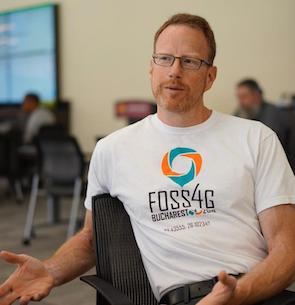
Conference experiences: Why should one come to FOSS4G and not go to another geo-event? What was your significant conference experience that helped you carve your career?
“My first GIS conference was an event called “GIS95″ in Vancouver, and at the time there was a lot of choice in the GIS industry. All between different proprietary GIS packages, but at least there wasn’t a single monolithic monopoly guiding the industry. Learning about all that diversity made me more interested in exploring the whole terrain, not getting pigeon-holed into one technical skill set. This served me well going forward.”
What is your advice for students and young professionals at the beginning of their journey?
“More than anything else, remember that your most valuable asset is between your ears, and that the time you have to fill that asset up with knowledge is valuable. When you arrive at an employer, the ability to get to work right away, without having to buy all your tools first, is a huge advantage. Knowing what is possible is the first step to accomplishing something; the number of good things that don’t happen just because people think they are not possible, or believe that the first step is running a procurement for expensive software, is tragic. Going to FOSS4G, and in general learning about the capabilities of open tools fills up your brain with possibilities that are dependent on nothing but you and your brain, and that is incredibly powerful. The danger of “easy” tools is that they embed the assumptions of the designer about the shape of the problem, and the appropriate solutions; even when those assumptions are 100% correct (and they rarely are) they usually do not age well. Assumptions about how to build a web GIS service from only 5 years ago are hopelessly out of date. Having a toolkit of low level pieces, languages like Python, databases, algorithmic libraries in data sciences and geospatial, will give you the flexibility to address whatever environment you find yourself in.”