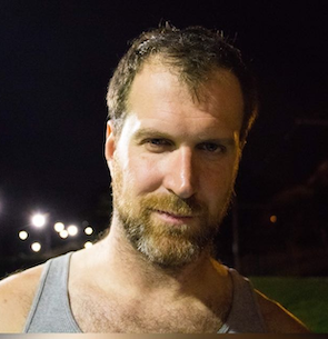
Schuyler Erle
Troublemaker
The Road to Geospatial: How did it all start for you? What was your first geospatial undertaking?
“Back in 2002, I worked with some other volunteers to build a community wireless network in rural Sonoma County, California, to correct the absence of digital Internet access. We quickly found,
using off-the-shelf Wi-Fi radios combined with high-gain directional antennas, that we could extend data networks over many kilometers of countryside — but only if the antennas had line-of-sight through the hills.
We had several dozen members of the community who had approached us, wanting to participate in our network and hopefully get high-speed internet access. Combinatorially speaking, though, that meant
hundreds, or even thousands, of possible radio links that needed to be analyzed and prioritized for manual line-of-sight survey. And surveying each one of those sites in person was very costly in terms of time and effort!
One day, my friend Rich Gibson came to me, and said, “Look, I’ve downloaded this free data from the US Geological Survey, and I figured out how to load it into this free software called GRASS,
and we can plot elevation profiles between any two sites we want!“ Well, this was a revelation to me. Now we had free software that could do the hard work, and with just a little scripting, we could automate almost all of the line-of-sight analysis. In just a few seconds, we could pare down the hundreds of possibilities to just the few feasible links that were actually worth surveying in person!
Thus the combination of free software and free data unlocked the growth of our community network. By building tools on what became the OSGeo stack, we were able to see and learn about our network
and our community from the “bird’s eye view” — and uncover things we could never have been able to learn from the ground. This is how I learned about the power of open source GIS.”
Conference experiences: Why should one come to FOSS4G and not go to another geo-event? What was your significant conference experience that helped you carve your career?
“For me, FOSS4G has always distinguished itself by how close-knit the participants are. FOSS4G was originally formed from a gathering of interlocking project communities, where everyone was pretty much using everyone else’s software. If you were using MapServer or GRASS, you were probably also using GDAL/OGR and PROJ; if you were using uDig, you were also using JTS; and naturally GEOS was inspired by JTS, and of course PostGIS relied on GEOS. The mutual interdependencies in the projects presented at FOSS4G has always been mirrored by a profound demonstration of shared purpose: Here is a place where you are sure to find people are working together, and supporting each other, in advancing the state-of-the-art in open source GIS.
I very strongly recommend presenting at FOSS4G. You might not consider yourself a public speaker, but then I don’t think you need to be. All you need to put your work out there, and show people
why you’re excited about it and why you find it interesting. You’ll be pleasantly surprised by the variety of responses you’ll get, and the kinds of unexpected conversations that can lead to.”
What is your advice for students and young professionals at the beginning of their journey?
“If the challenge or the difficulty of your current task doesn’t leave you feeling slightly uncomfortable, then you’re probably not doing your best work. Discomfort is one way that we know we’re out on the edge, learning and taking the risks that lead to real rewards. So embrace those times when you feel uncertain, or out of your depth, or a little stressed to keep up. You deserve an education and a job that pushes you to be your best.”