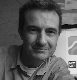
Sergio Acosta y Lara
Academic Committee / Departamento de Geomática - Dirección Nacional de Topografía
Sergio Acosta y Lara is an architect (Universidad de la República/UdelaR) working with Geographic Information Technologies for nearly 30 years. He is in charge of the Department of Geomatics (Ministry of Transport and Public Works) and member of several Working Groups for Technical Specifications of the IDEuy (Spatial Data Infrastructure of Uruguay). He is Charter Member of the OSGeo Foundation (Open Geospatial Foundation) and member of the Advisory Board of the Geo4all initiative, Regional chair for Iberoamerica and co-editor of its newsletter. He coordinates gvSIG Batoví (design and development of a GIS applied to educational environments for the Plan Ceibal (OLPC initiative for Uruguay) based on gvSIG: https://valijas.ceibal.edu.uy/recurso/33 and leads its blog. He is one of the coordinators of the gvSIG Uruguay Community (web) and of its blog.
